WESTERN PRODUCER — David Phillips, Canada’s best known weatherman, says ‘flash droughts’ are becoming more common in Canada and around the world.
It’s not an everyday term; more people are likely more familiar with flash floods.
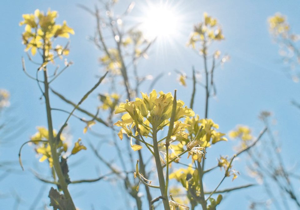
However, parts of the eastern Prairies may have endured a flash drought this spring.
From May 25 until June 6, Brandon recorded seven days with temperatures above 30 C.
That’s unusually warm for springtime in western Manitoba. In the two-week period, only 20 millimetres of rain fell on Brandon. It’s not enough moisture for emerging crops, lawns and gardens when daily highs are hitting 33 C.
A U.S. government website, drought.gov, defines a flash drought as a period of high temperatures and minimal rainfall, which can quickly deplete soil moisture.
“Unlike slow-evolving drought, which is caused by a decline in precipitation, flash drought occurs when low precipitation is accompanied by abnormally high temperatures, high winds, and/or changes in radiation,” the website says.
“These sometime-rapid changes can quickly raise evapotranspiration rates and remove available water from the landscape.”
The impact of this spring’s flash drought is easy to notice in parts of Manitoba.
The June 13 crop report from Manitoba Agriculture said “warm, dry and windy condition,” are harming crops in the central region of southern Manitoba.
“Many crops, especially corn and cereals, can be observed experiencing stress from lack of moisture.”
Phillips, senior climatologist with Environment Canada, said flash droughts and extreme weather are part of the new climate reality for farmers and others who rely on ‘normal’ weather patterns.
“Well, normal weather, it doesn’t exist anymore,” said Phillips, who has worked at Environment Canada for more than 50 years.
When Phillips speaks at conferences, he gives the example of the growing conditions in Manitoba from 2020-22.
If the annual precipitation for the three years is combined and divided by three, the precipitation for the period looks normal.
“But the first two years (2020-21) were the two driest years on record, followed by the wettest year on record,” Phillips said.
Researchers at Tufts University in Boston reached a similar conclusion about future weather patterns in a paper published in early June.
They found that periods of extreme heat during the growing season, which can cause flash droughts, are happening more often in the world’s wheat-growing regions.
Heat waves that occurred once every 100 years in 1981 are now likely to happen once every six years in the U.S. Midwest and once every 16 years in north-eastern China.
“The historical record is no longer a good representation of what we can expect for the future,” said Erin Coughlan de Perez, lead author of the paper that was published in NPJ – climate and atmospheric science.
This means extreme temperatures that had a one percent chance of occurring in 1981 in the U.S. Midwest now have a 17 percent chance to occur in any given year.
Phillips agrees that the historical record has become less important.
The normal temperatures in June from 60 to 80 years ago in Saskatchewan aren’t a great predictor of what will happen in June of 2024.
“Nowadays … I’ll say to a grower: don’t look at the last 50 years. Look at the last 10 years. That is more indicative of what you’re likely to see this next growing season,” Phillips said.
“The past record tends to mask the recent variability.”
Contact [email protected]


