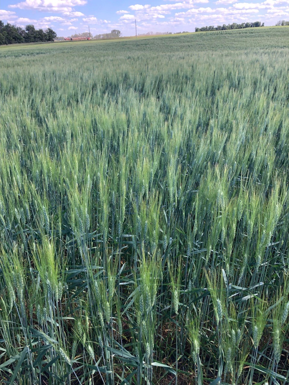
SASKATOON — Researchers are reaching out to producers for help in tracking the risk of Fusarium head blight disease.
The University of Manitoba in partnership with Alberta Grains, Saskatchewan Wheat Development Commission, Saskatchewan Barley Development Commission, Manitoba Crop Alliance and the provincial governments of Alberta, Saskatchewan and Manitoba, offer free public access to a mapping tool that shows the level of risk for the disease in wheat, durum and barley.
From May 15 to Aug. 31, the site uses free, publicly available weather data (air temperature, relative humidity, rainfall preceding the time of flowering) from over 500 weather stations across the prairies to calculate the risk of FHB and generate the risk maps.
Currently, the number of weather stations available in Saskatchewan to generate the maps is less than ideal, according to researchers. Increasing the number of stations available to the risk mapping tool in Saskatchewan is a high priority.
To provide additional data, scientists are asking weather trackers to allow data from their Pessl / Metos weather station to contribute to the FHB model (data will not be used for any other purpose). Metos Canada Inc. is Ag Data Transparent, therefore we permission is needed to transfer anonymized data to be used for calculating disease risk in the FHB risk mapping tool.
To contribute:
• Existing Pessl / Metos station owners – email your station ID, contact information, and authorization to contribute your station data to the model by April 22 to [email protected].
• Purchase a Pessl / Metos station by contacting [email protected] and include your authorization to contribute the station data to the model by April 15.
• Submit your request for one of 25 free Pessl / Metos weather stations by April 8. There have been 25 locations identified in Saskatchewan where the installation of a weather station would help to fill a gap in the current network (see list below). All of the locations are within range of the network coverage needed for real time transmission of weather data to the FHB risk mapping tool. If you are a land owner within five miles of any of the locations below, you can email your contact information, land description and a request to be considered for one of the 25 free sponsored stations to [email protected].
If your location is selected, you will be contacted to receive a free Pessl / Metos weather station for three years. It will be installed by Metos and you will have access to the raw weather data. You will need to provide authorization to contribute your station data to the FHB risk mapping tool for a minimum of the 2024, 2025 and 2026 growing seasons.
Locations for 25 free weather stations:
• eight miles northeast of Oxbow
• five miles southeast of Forget
• 10 miles east of Francis
• 13 miles west-southwest of Bengough (between Willow Bunch and Willow Bunch Lake)
• three miles northeast of Edenwold
• 19 miles west-northwest of Melville
• 10 miles southwest of Bredenbury
• 11 miles north-northwest of Canora (between Tadmore and Amsterdam)
• seven miles southwest of Sheho
• 12 miles south-southwest of Humboldt
• five miles west of Fosston
• 14 miles west of Archerwill
• four miles southwest of Wakaw
• nine miles north of Tisdale
• eight miles east-southeast of Prince Albert (near Stanleyville)
• 10 miles west-southwest of Blaine Lake (near Krydor)
• four miles northwest of Turtleford
• three miles west of Cut Knife
• 22 miles northeast of Biggar (near Struan)
• seven miles south of Biggar
• 14 miles northeast of Hanley
• three miles northwest of Eston
• seven miles northeast of Chaplin
• five miles south-southwest of Hodgeville
• 15 miles northwest of Swift Current (near Success)


