Environment Canada says there is more winter weather on the way this coming week.
The unseasonably mild weather that has distinguished so much of this February will give way to active winter weather early next week.
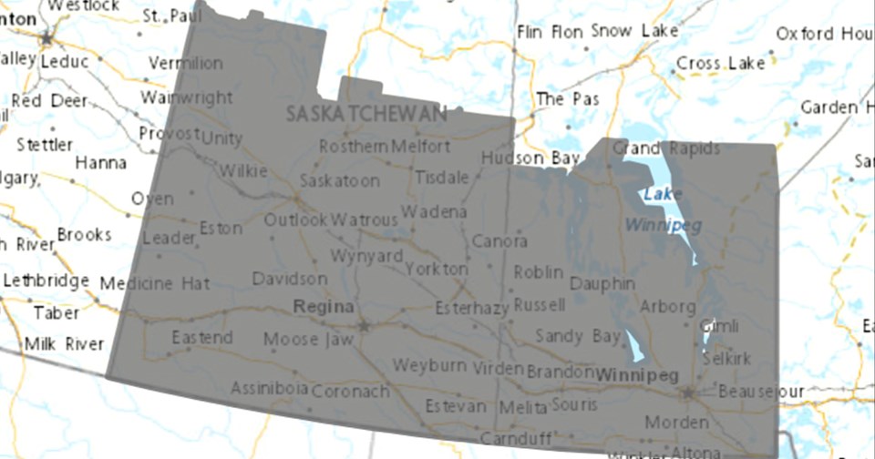
An intense, fast-moving Alberta clipper system is forecast to develop Sunday night and cross the Prairies on Monday. For central Saskatchewan through central Manitoba, current indications show 10 to 20 cm of fresh snow falling Sunday night through Tuesday morning. Visibility reductions in snow and blowing snow are likely as blustery easterly and then northerly winds gusting up to 70 km/h accompany the system. Travel will be impacted.
Notably, the mild temperatures ahead of the system this weekend will plummet rapidly once the clipper passes by on Monday. Morning low temperatures on Tuesday will be closing in on the -30 degree Celsius mark along with wind chill values nearing -40. The bitter cold looks to last a couple days before moderating late next week.
Additional warnings and advisories will be issued as the event approaches.


