REGINA — Data for water management across sectors is now open for public use through a platform by the Water Security Agency of Saskatchewan, but at least one group is skeptical of how useful it will be for their businesses.
The Saskatchewan government earlier this week announced the launch of what it calls a GeoHub portal for access to data for better water management. The portal combines geographic information systems to provide greater access to information, primarily when making decisions around agricultural operations, planning, or research in the province.
A local agricultural organization says the platform wasn’t particularly useful for its targeted group.
“It’s just not something farmers will use the WSA for,” Agricultural Producers Association of Saskatchewan spokesman Ryan McNally said in an email.
“If farmers are reaching out to WSA, for the most part, it’s for things around digging wells and stuff for irrigation projects, not so much for drainage and lake levels/streamflow maps.”
Proponents of the platform said that with the right digital infrastructure or third-party service operators that can provide those monitoring resources, agricultural producers could benefit from the data being made available.
“Having that information out there is very useful for Saskatchewan for researchers like myself,” said John Pomeroy, professor and Canada research chair in water resources and climate change at the University of Saskatchewan.
Pomeroy noted the data can help to quantify moisture levels in soil, quantify the drought, and generate predictive models, such as the type of work he and his team have been doing at the Global Water Future Observatories.
Other groups that may take an interest in the platform are engineering groups, municipalities, other provincial or federal agencies and academic researchers, in addition to agricultural producers.
“Why we put our data out there is that it’s an open portal, open data, open government,” said Water Security Agency spokesman Patrick Boyle.
“That’s what we’re looking for, is to make our data available to those who could potentially make benefit of that.”
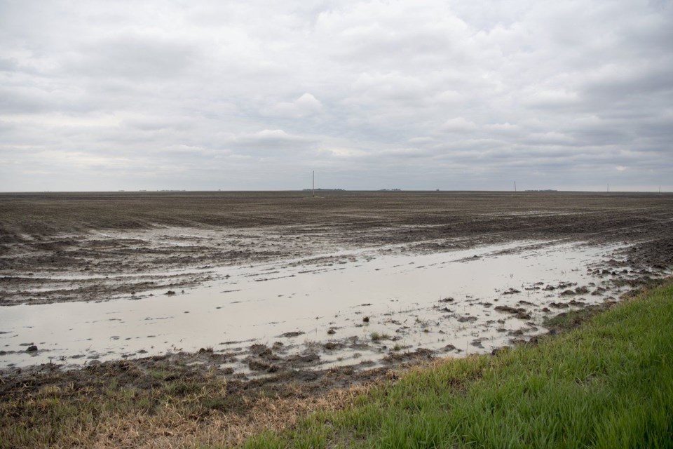
The portal would allow access to information that could help protect water quality, reduce floods and damage from droughts, and manage water supply channels such as those across the province’s 72 dams, according to the WSA.
According to Statistics Canada, Saskatchewan accounts for more than 43 per cent of Canada’s cropland, with 40.3 million acres reported in 2021.
There are 34,128 farms in Saskatchewan, comprising 18 per cent of Canada’s total farmlands. In 2020, 21.9 per cent of farms in the province reported using variable-rate input applications.
The platform’s uses in farm management include making more precise decisions, creating yield maps, monitoring crops, and managing direct water resources.
Boyle said the data is there to be used based on project type.
“Nothing is the same in Saskatchewan for each area. We have a very diverse province and landscape. When we look at his data that’s available, it depends on what water management project you’re looking at.”


