That lack of clarity can make it hard for scientists and policy makers to come up with strategies that could help the industry avoid or at least ease some of the pressing issues.
Recently, agricultural economists at the University of Illinois in the United States studied how the choice of statistical methodology influences climate study results and they suggest a more accurate and place-specific approach to application of data.
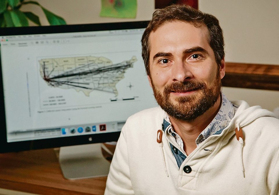
“Statistical methods have been used to measure the impact of climate change on various economic outcomes, primarily on agriculture, since the early 1980s,” said Sandy Dall’Erba, professor in the U.S. Department of Agricultural and Consumer Economics and director of the Center for Climate, Regional, Environmental and Trade Economics.
“When it comes to this particular research, the idea started in 2016 after I became more familiar with econometric studies that analyze the impact of climate change on agriculture. I was surprised to learn that the statistical approach seemed to generate estimates for very large swaths of land, so I decided to investigate how to provide place-tailored estimates.”
Dall’Erba said that they were able to download data related to agricultural variables from the U.S. Department of Agriculture.
However, the relationship between climate and agriculture opened up a bewildering number of approaches for analysis, such as a change of one degree in temperature, whether land is irrigated or rainfed, its elevation level, or data confined to specific areas.
“Early studies would assume one additional degree of Celsius or Fahrenheit in Arizona will have the exact same marginal effect on agriculture as one additional degree in Illinois,” said Dall’Erba. “That makes very little sense because you’re looking on the one hand at a place that is used to high temperature and low precipitation versus a place which is used to moderate temperature and much more precipitation.”
The researchers looked at how past studies grouped locations for analysis, and how such groupings affected the results.
“All these grouping options are based on ad-hoc decisions,” he said. “Researchers (may) assume that one form of grouping is the correct one and run their econometric models with that choice then find the results that confirm the choice they made. The shortcoming (to that) is not trying another form of grouping. However, on the other hand, we recognize that the grouping choice researchers do is not random but motivated by economic or agronomic factors.”
Recent studies have tried to differentiate results and estimate effects based on local conditions. According to the press release, a popular approach is to divide the U.S. into irrigated versus rainfed areas across a west-east partition divided by the 100th meridian.
In 1878, explorer John Wesley Powell drew an invisible north-south line in the dirt representing the boundary between the humid, lush eastern U.S. and the dry, arid western plains. The concept of that 100th meridian divide has basically worked through history as indicated by both the growth and spread of agricultural production and human population on either side of the line. But now that line is slowly moving eastward as arid areas expand due to climate change.
Another method and one which Dall’Erba uses in his own research compares elevation areas while a third more artificial approach (and one that is not always accurate) is to group locations along state lines.
Successful mitigation strategies would depend on the kinds of crops grown in a particular area or the livestock species raised by farmers and ranchers. An example of livestock management is related to the amount of water needed in the lifetime of an animal, not just its direct water needs but indirect needs, such as the water required to produce crops for animal feed.
“Accounting for these supply-chain elements means that producing one pound of chicken requires a total of 518 gallons (2,330 litres) of water over the lifetime of the animal,” said Dall’Erba. “Each pound of beef requires over three times that amount.”
He said that global warming is expected to lead to lower yields. Increases in carbon dioxide might promote crop yield but not enough to compensate for the impact of rising temperatures and less reliable precipitation.
“(However), one has to recognize that livestock and crop productivity has increased over the last four decades so the trend shall continue although not through new areas devoted to farmland,” he said. “In addition, one should expect a northward shift of current climate zones so adaptation through adoption of new crops will be needed. The global food system will be affected by this shift, especially production in tropical countries because temperatures are already high in these places. They might have to rely increasingly on other countries and import food supply.”
To examine region or county-specific climate impact estimates, Dall’Erba and his team recommend other scientists use one of three new statistical approaches. They are all data-driven and have no preconceived assumptions. The methods analyze data to find both the number of agricultural areas and who belongs to which of those groups. The three statistical techniques with the technical names of C-Lasso, causal forest algorithm, and geographically weighted regression, have been used for analysis in other industries, such as the labour market and energy conservation but have not previously been used in climate change research.
“Unlike current techniques used to estimate the impact of climate change, these techniques will generate a marginal effect for each location and provide the capacity to design mitigation and adaptation strategies that are place-tailored,” said Dall’Erba.
“You really let the data speak for themselves. you do not impose anything on your model. As soon as you start making choices on how one should group the observations, you’ve already guided your results in one direction.”
He added that, while there is increasing evidence about the capacity of trade to mitigate the negative impact of climate change, the question of how developing countries would fund their increase in food imports remains open.
Future research will look at approaches to a comprehensive analysis of climate change and agricultural production.
“We are applying one of the techniques, geographically weighted regression, to estimates of the impact of climate on farmland values across continental counties,” he said. “The results are specific to each county and show that one additional Celsius degree has a different impact on farmland values in, say, Midwest counties than on counties of the West Coast. The same applies to precipitation. Unfortunately, farmers would not be able to readily apply the results to their farm as our units of observation are based on counties. However, the technique can be extended to the farm level if the data exist.”
The research was published in the journal Climatic Change.