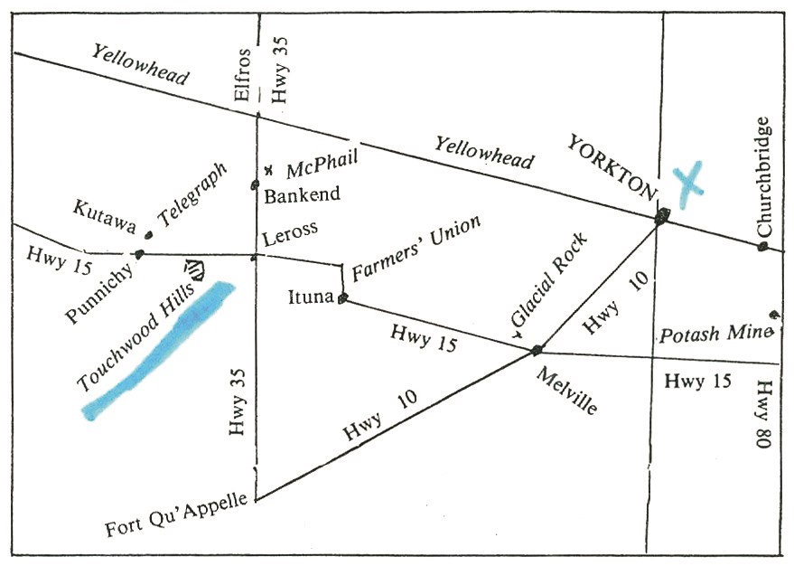
While there was no defining previous building or trail before the 1882 settlement at the site of Yorkton, such as a fort for example, there was activity in the surrounding region. Author Frank W. Anderson tells us several stories in the book “81 Interesting Places in Saskatchewan.” We quote: In the early fur trade days, communication between Fort Edmonton and the east was by way of the North Saskatchewan River system. However, by 1841 a rough cart trail led from Fort Garry (Winnipeg) to Fort Ellice, near St. Lazare, Manitoba today, and thence into Saskatchewan via the Touchwood Hills. It crossed the modern Yellowhead Highway one mile east of Lanigan. It had many detours, but it crossed the South Saskatchewan at what became Batoche’s Crossing. Its next stop was Fort Carleton, where it linked up with the river traffic. From Carleton it wandered across the prairies by several routes to reach Fort Pitt near the present Alberta border. Then, it hugged the river valley to Fort Edmonton. As new settlements sprang up in Saskatchewan, branch trails ran from the Carleton Trail. Gold seekers, police, politicians and settlers followed the trail until the arrival of the railway in the 1890s. When Frank Anderson published his book in 1980, he stated that deep cart ruts could still be seen in isolated areas of the Touchwood Hills.
Contact Terri Lefebvre Prince,
Heritage Researcher,
City of Yorkton Archives,
Box 400, 37 Third Avenue North
Yorkton, Sask. S3N 2W3
306-786-1722
[email protected]


