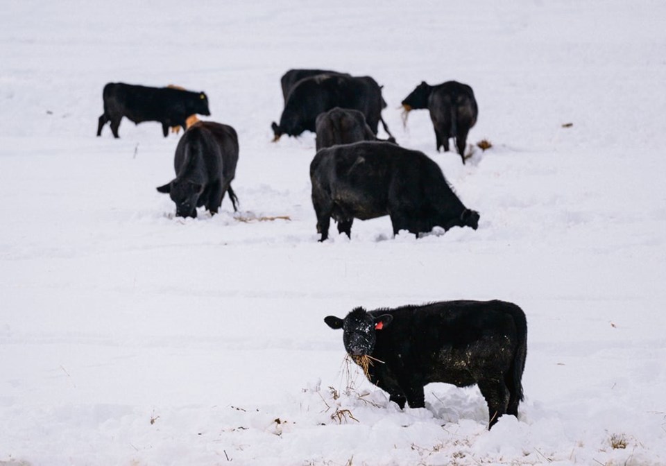
WESTERN PRODUCER — Farmers and ranchers across the southern Prairies woke Oct. 23 to a heavy blanket of snow covering their land, the first white stuff of the year.
It was laden with much-needed moisture that was greedily absorbed by parched soil.
“It was very welcome. We are still really in the grips of a historically dry situation, so we are willing to take any moisture that comes in any form possible,” said Tara Davidson, who ranches near Ponteix in southwestern Saskatchewan.
“There’s definitely some mud around to drive into now,” said Dwane Morvik, who ranches further southwest near Eastend.
“We had about an inch (of) rain before it snowed, which was welcome because it hadn’t really rained here since July,” said the cow-calf producer.
The weather system extended from southern Alberta east into southern Manitoba, which experienced more rain due to warmer temperatures.
Much of the southern prairie region received some moisture over the weekend of Oct. 22-23, but the largest snow dump was concentrated in a triangle between Swift Current, Moose Jaw and Outlook in the south-central part of Saskatchewan.
“Values range quite a bit but we’re seeing anywhere from about 30 centimetres to about 45 cm being reported,” said Trevor Hadwen, agri-climate specialist with Agriculture Canada in Regina.
Environment Canada doesn’t provide actual snowfall measurements, but relies instead on precipitation amounts provided by people who track accumulations through rain and snow gauges, as well as devices that weigh liquid to determine moisture level.
“The typical rule of thumb is a centimetre of snow equals a millimetre of actual liquid moisture.”
Hadwen said moisture accumulations ranged from 50 mm around Moose Jaw, Sask., to 35-50 mm near Assiniboia, Sask., and similar amounts near Lethbridge and the Alberta foothills.
It was significant moisture that will provide value to the agricultural community, he said.
“It brings up pasture recovery and it brings up good soil moisture into the profile for next spring’s crop as well.”
Morvik remains hopeful about more rain or snow.
“It’s going take more than this one rain and snowstorm to get out of the drought. It’s going to take a whole other couple of years of above-average rainfall to get back to normal around here.”
With double-digit warmer temperatures in the forecast, Hadwen expects the snow will not stick around for long.
Those who track snow and rainfall measurements are urged to email the information to the government’s drought watch and agroclimate website ([email protected]) and to the Community Collaborative Rain, Hail, and Snow Network ([email protected]), a grassroots volunteer network of backyard weather observers.