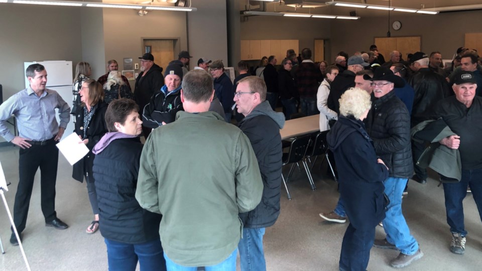
MELFORT — Around 200 attended a public meeting aimed at getting feedback about a District Official Community Plan for Melfort, RM of Flett Springs and RM of Star City.
The meeting took place April 27 at the Kerry Vickar Centre.
The city and two RMs are working together to update their planning documents. This group of municipal bodies received the Targeted Sector Support funding of $62,898.75 to go towards this project said Rob Lok, Director of Community Services for the City of Melfort. The total project budget is $83,865. Lok said because of the funding that there has been ongoing and active communication between all the respective municipal governments.
Lok said the current Zoning Bylaws and District Official Community Plan were from 1967. The new District Official Community Plan and Zoning Bylaws will permit dozens of additional land uses including a number of agricultural related commercial uses, agricultural processing plants, campgrounds, gravel pits, a number of recreational and community service land uses. The new Bylaws will provide for more development opportunities in the Planning District and the RMs as a whole.
There were concerns that the proposed District OCP would reduce private development or land use rights but the RM Zoning Bylaws will not regulate what crops grown or the number and type of animals that are kept by farmers, Lok said.
“If an individual wanted to set up an Intensive Livestock Operation (e.g. a feed lot, hog barns or a large dairy) a permit would be required from the Province and RM. Farming is permitted in all parts of the RM and no permits are required.”
Other highlights of the OCP are biophysical constraints to development, which means buildings (especially commercial and residential buildings) will be directed to areas that do not flood. The section on Commercial Land Uses directs commercial development in the Planning District to the area currently used for commercial and industrial development south of the City. Commercial Development is permitted in other areas of the RM, but large scale developments are encouraged to locate near a Highway.
“The biggest benefit will be having an updated modern policy document that addresses the contemporary land use issues of the three planning districts, and a framework for how the RMs and the City will work and communicate together on land use and development matters going forward,” Lok said.


