SASKATCHEWAN — Update: Environment Canada is forecasting blizzard conditions to develop Monday afternoon for much of Saskatchewan.
An Alberta clipper will bring fresh snow, a risk of freezing rain and strong northwest winds gusting up to 90 km/h to parts of the southern half of Saskatchewan Monday.
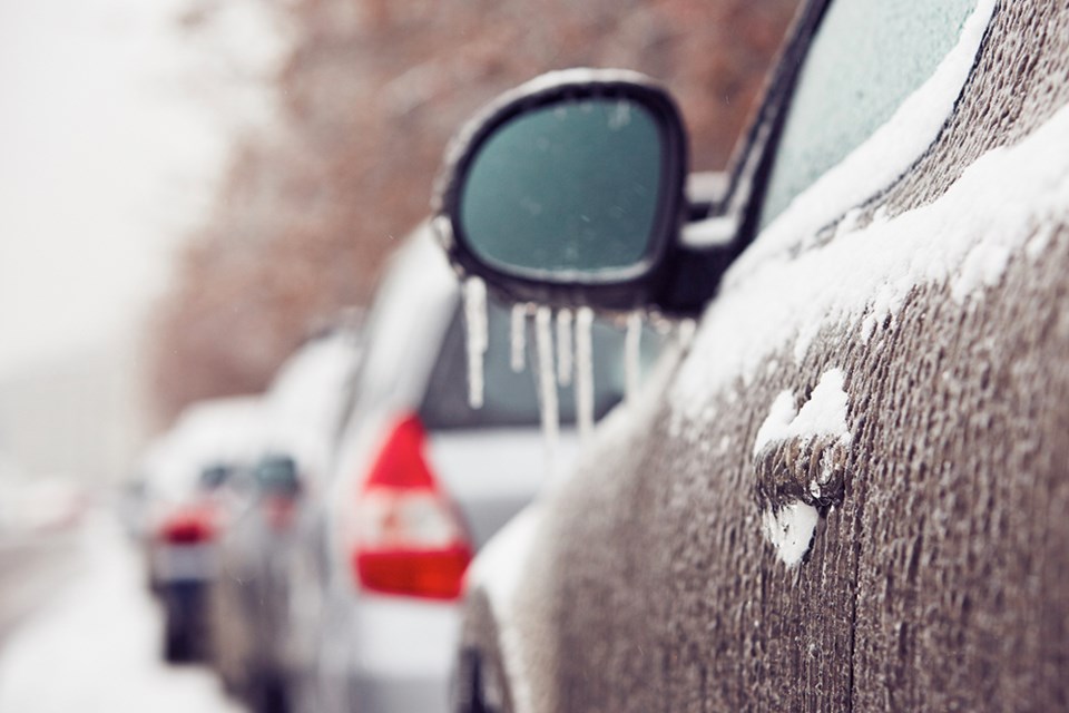
The falling snow and strong winds will combine to create blizzard conditions with near-zero visibilities at times.
Monday afternoon, there also exists the potential for freezing rain to develop before transitioning to snow.
Conditions will improve overnight on Monday as the winds diminish.
Monday night, as the system tracks into Manitoba, temperatures will fall to near or below normal values.
Please refer to local forecasts for specific information on timing of the onset of blizzard conditions, snowfall amounts and strength of winds.
Travel is expected to be hazardous due to reduced visibility. Visibility will be suddenly reduced to near zero at times in heavy snow and blowing snow. Prepare for quickly changing and deteriorating travel conditions.
Blizzard warnings are issued when widespread reduced visibilities of 400 metres or less are expected for at least 4 hours.
Background Jan 30: Another Alberta clipper is set to bring a mix of winter weather to the entire southern half of Saskatchewan, beginning Monday morning.
A special weather statement was issued at 4:46 a.m. Sunday by Environment Canada. It reaches as far north as Meadow Lake, Prince Albert, Nipawin and Hudson Bay and south to the border.
It states that the system will move across the south half of Saskatchewan on Monday, bringing a swath of snow through the northern grain belt region southward towards the Trans Canada Highway. The axis of heaviest snow will be in areas primarily north and east of Saskatoon to the Manitoba border. Snowfall accumulations through these areas of five to 15 centimetres are possible.
As the clipper moves to the east on Monday, strong northwesterly winds will develop over the region. Winds of 40 to 50 kilometres per hour are likely, with the strongest winds being primarily south of Saskatoon with gusts of 70 to 90 km/h starting in the southwest Monday afternoon, migrating to southeastern regions by Monday evening.
These strong winds, combined with freshly fallen snow, will produce a widespread area of blowing snow. The most extensive blowing snow is likely to occur between Highways 1 and 16, and will likely result in a deterioration of travel conditions.
Additionally, a risk of freezing rain is possible from the Kindersley region southeastwards to the Carlyle and Estevan regions Monday morning. Some regions in the vicinity or south of the Trans Canada may experience precipitation first as rain, before quickly transitioning over to snow.
Conditions will improve Tuesday morning as the winds taper off. Behind this system, another surge of Arctic air will move into the Prairies. Overnight lows will drop into the mid -20s C midweek before attempting to return to seasonal values by the end of the week.
.jpg;w=120;h=80;mode=crop)


