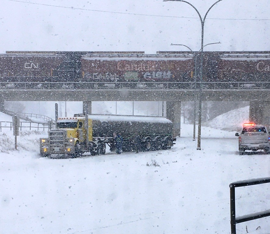
That’sright. We are again under a snowfall with total amounts of 10 to 20 cm expected.
Envirment Canada says a Pacific weather system is spreading snow across central Saskatchewan today. The snow will persist throughout the night, then taper off from west to east on Sunday. Snowfall amounts will likely end up in the 10 to 20 cm range, with up to 25 cm through the Melfort, Nipawin, and Hudson Bay areas.
Further south, amounts through tonight and Sunday will be in the 1 to 5 cm range as a cold front swings through, along with a risk of freezing rain or freezing drizzle tonight. Again, the precipitation in southern regions will end from west to east on Sunday.
Moderate to strong northeast winds in the areas receiving heavy snow will also give reduced visibilities in blowing snow, especially this evening.
Be prepared to adjust your driving with changing road conditions. Visibility may be suddenly reduced at times in heavy snow. For information on emergency plans and kits go to http://www.getprepared.gc.ca.
You can monitor alerts and forecasts issued by Environment Canada. To report severe weather, send an email to [email protected] or tweet reports using #SKStorm.


