SOUTHEAST SASKATCHEWAN — Environment Canada has lifted the snowfall warning that was in effect for the southeast, but now there is an extreme cold warning for the region, including Estevan, Weyburn, Carlyle, Radville and Milestone areas, as well as Kipling, Wawota, Carnduff, Bienfait and Stoughton areas.
The snowfall warning was issued at 4:19 a.m. Sunday, and lifted at 9:58 a.m. Monday, and it left a thick, white blanket on many areas.
Along with the heavy snow, winds gusting up to 60 km/h may create pockets of reduced visibilities in blowing snow. Many highways in the southeast had "travel not recommended" advisories late Sunday and early Monday.
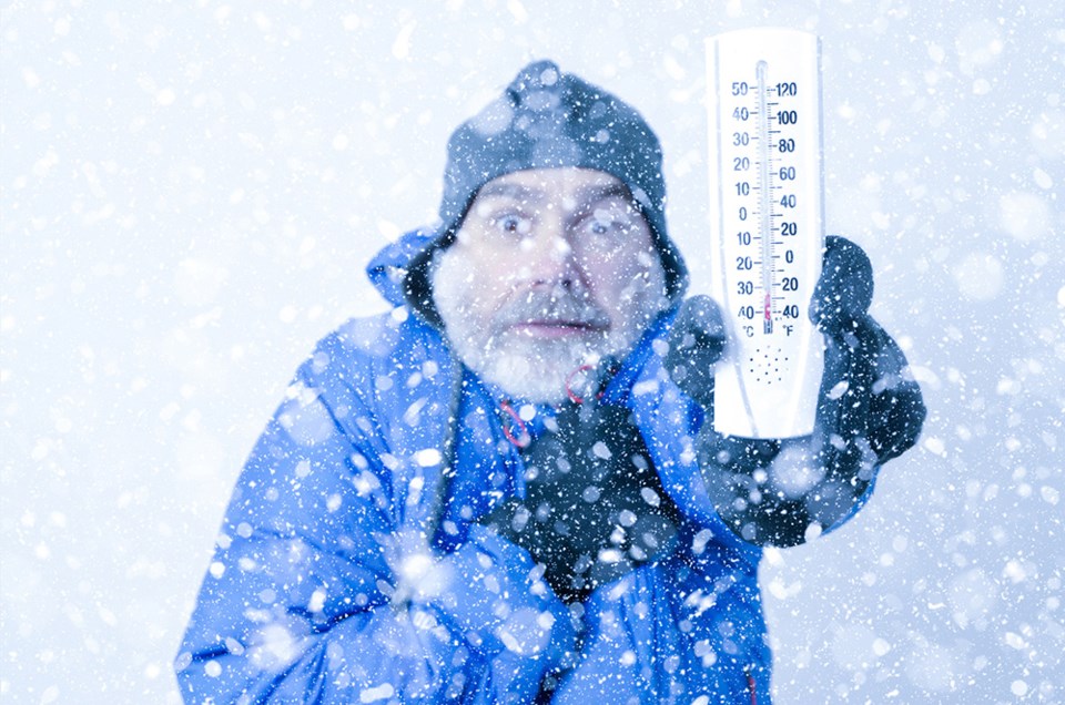
Meanwhile, an extreme cold warning has been added to the weather mix.
A multi-day episode of very cold wind chills is expected.
A period of extraordinary cold for southern Saskatchewan for the rest of the year.
An extremely cold arctic airmass remains entrenched over southern Saskatchewan with windchills of -40 to -45 Tuesday morning. Although windchills will moderate throughout the day, the extreme windchills will return again tonight.
Unusually cold weather will persist through the rest of the week.
Dress warmly. Dress in layers that you can remove if you get too warm. The outer layer should be wind resistant.
Cover up. Frostbite can develop within minutes on exposed skin, especially with wind chill.
Keep emergency supplies in your vehicle such as extra blankets and jumper cables.
If it's too cold for you to stay outside, it's too cold for your pet to stay outdoors.

