ESTEVAN - Two late winter snowfall events brought some moisture to the southeast in April, with most of the precipitations falling as snow.
Last week the Saskatchewan Water Security Agency (WSA) issued an advisory of the potential for overland flooding in the extreme southeast corner due to another Colorado low aiming at the area. The weather system could have potentially brought a significant amount of rain, which would have sped up the snowmelt and resulted in potential local flooding.
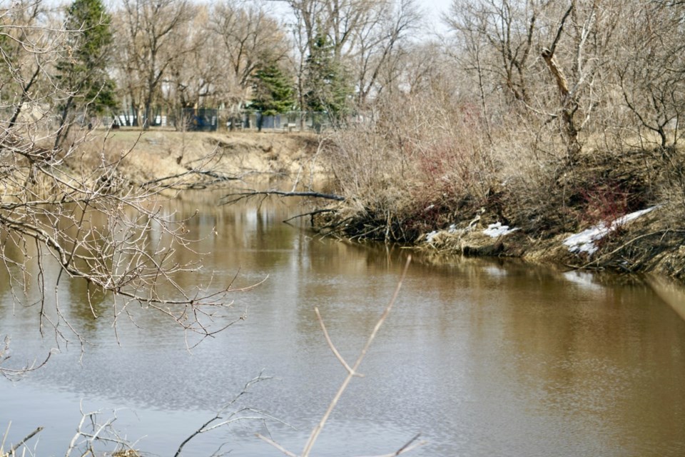
The area of concern extended from Highway 1 south to the U.S. border, and from Highway 47 east to the Manitoba border. It included Pipestone Creek, Moose Mountain Creek, Short Creek and the Antler River and its tributaries, including Gainsborough, Lightning, Jackson and Graham creeks.
While the weather event missed the region, snow accumulated during the previous snowstorms and the now rapidly melting snow did affect the situation in the region.
"That Colorado low just slipped the quarter a little bit and it didn't drop the amount of precipitation that was possible. So that's good that we didn't see that large influx of rain that could have resulted in flooding," said Sean Osmar, communications manager with the WSA.
"Flows along some of the tributaries, smaller rivers and streams, creeks that were in the area of the advisory, their flows are increased, and they're holding, but they seemed to peak, which is good. And along the Souris River, Grant Devine (Lake) it looks like it's filling up nicely, so we expect to see that reservoir filled up probably later in the month here."
In their spring runoff forecast for 2022, which was based on conditions as of March 1, the WSA stated that due to hot and dry conditions throughout 2021, despite significant amounts of snow, some areas with dry conditions at freeze-up were still predicted to have normal to below normal runoff.
The forecast called for above-normal runoff for an area that includes Weyburn, Regina and Indian Head. The Estevan area was in the region with forecasted below normal runoff. The eastern area, including Carlyle, was expected to have near-normal runoff.
In the Souris River Basin, both Rafferty Dam and Grant Devine Lake were below their Feb. 1 drawdown target elevations.
Osmar said the snowstorms improved moisture levels for the region, but not much so far.
"It certainly improved conditions, it did help replenish some of the reservoirs down there with Grant Devine being one of them, Boundary, Rafferty. But because of very hot, very dry conditions that we saw in most of southern Saskatchewan last summer, we're still below normal," Osmar said.
"Things have improved, and we're hoping to see more precipitation come through. And we expect that probably by the end of the week with these temperatures, we'll see the last of the snow that remains out there will probably melt off and will contribute to the runoff."
He added that the snow from mid-winter and what the area has experienced in April brought in different levels of moisture.
"The heavier wet snow tends to translate into more water as opposed to some of the drier, fluffier snow that we were seeing midwinter and earlier this year. These last two snowstorms we had have contributed more water than some of the drier snow would. So, we've seen conditions improve for the southeast and in the south in general, but I think we're still below normal. And we'd still like to see some additional rains come here in the spring," Osmar said.
The latest Colorado low didn't hit the southeast as was predicted, but Osmar said potential flooding can't be taken out of the picture, however, the general situation is not alarming at this time.
"It's something we'll continue to monitor. The flows look like they peaked and are holding steady. We haven't been alerted to any flooding in any place, but we'll continue to watch. There's still snow to melt off and depending on how that melts and runs off, we'll determine whether there's going to be any flooding or not. But certainly, with the way those rains have bypassed the province, the risk is lower," Osmar said.


