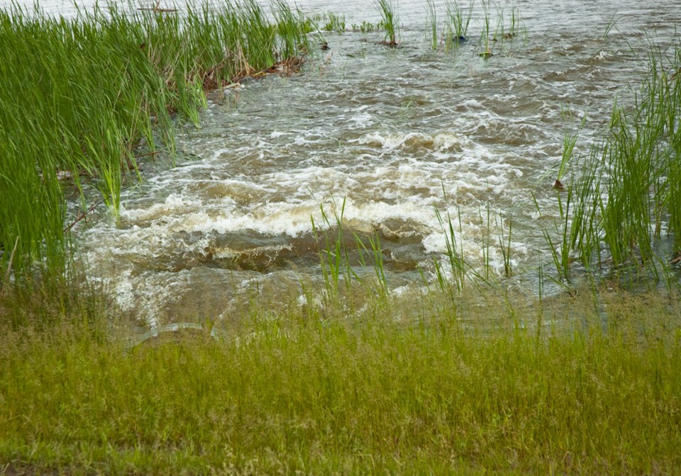
An initial forecast showing expected spring water runoff looks good, but it comes with the reminder that with the water table in southeast Saskatchewan elevated as it is, it may only take an unexpected rainfall to present water problems for many.
The Water Security Agency (WSA) spring runoff forecast noted much of the southern part of the province received record rainfall during the first half of 2014. While most of the province experienced near normal precipitation over the final two months leading into winter, which lowered topsoil moisture conditions, much of the subsoil across the grain belt remains near fully charged.
“In the southeast area of the province, we went into winter freeze up fairly saturated,” said Patrick Boyle, WSA spokesperson. “There were some creeks and streams and smaller tributaries that were still running before freeze up, and typically those would be dry. That’s something we’re looking for and watching.”
The WSA’s report noted, “many areas were as wet, or wetter, than they were in the fall of 2010. In addition, many closed and semi-closed wetland areas were higher than they were in the fall of 2010 as a result of four additional years of wet weather.”
The following spring in 2011, the Estevan area experienced severe flooding and the low-lying areas of Roche Percee were destroyed.
That doesn’t mean the area is gearing up for another round of flooding.
With limited snow in the basins, it is unlikely that conditions yielding a 1:10 year or larger runoff event, which would necessitate further drawdowns under the international agreement, will develop.
Because of that, the WSA is forecasting near normal runoff.
“We lost a lot of our snowpack in January. It brought us down to that near normal level,” said Boyle. “That, combined with our below average snowfall, that certainly improves the situation.”
Still, he cautioned “it wouldn’t take much going forward to move that into the above normal category. It’s probably leaning toward that on the near normal side.”
Thus far, the province has experienced a typical El Nino winter with warmer and dryer weather. That’s generally expected to continue through to the end of March according to Environment Canada, which is forecasting near normal precipitation across the province for March and April.
With much of the fallen snow melting in January, the initial spring runoff forecast noted there is a lot of conflicting information from surveys, particularly regarding the snow-water equivalent. The WSA noted there is a “large amount of uncertainty” in the water equivalent of snowpacks as the passive microwave images have not been agreeing with visual observations taken by technicians.
The WSA will be completing point snow surveys prior to next month’s forecast to get a better sense of the real results.
There are three main factors to consider over the next several weeks: Fall conditions, snowfall, and the combination of temperatures and precipitation during runoff.
“There are many wetlands in the southeast that are fully charged right now,” said Boyle. “We’re starting to get the (snowfall) picture.”
The final piece, temperature and precipitation, is the biggest unknown and will be right up until the snowpack begins melting.
But the WSA is optimistic, added Boyle. With normal conditions going forward, the southeast can expect a typical spring runoff. Though there are outlier years, with extremes on both the high and low ends, normal is called such for a reason, and that’s what is expected.
“Right now, every thing is typical,” said Boyle. “We’re looking at an average right now.”
Rafferty and Alameda reservoirs were drawn down to their normal drawdown levels prior to Feb. 1. Outflows from Rafferty Reservoir were terminated on Oct. 22, once the drawdown objective was achieved there. On Jan. 22, after achieving the drawdown objective at Alameda Reservoir, the outflow was reduced to 0.4 m3/s, where it remains today to pass inflows and hold the reservoir near the target level.
The spring runoff forecast has the potential to change in the weeks and months ahead. Below normal snowfall and a slower melt rate would result in below normal runoff. Conversely, above normal precipitation going forward and a rapid melt could still result in high runoff and potential flooding.
The WSA warned, “extreme rainfall events are very unpredictable as the province experienced in the summer of 2014. As always, excess rainfall in the spring could significantly alter the runoff outlook and create excess moisture in some areas.”
The WSA will continue conducting snow surveys as part of forecasting the spring melt and subsequent runoff. Updated forecasts will be provided in March and April. For more information or to view the full forecast, visit wsask.ca


