“It’s just a tool … you can’t trust a drone to say this is a particular problem. You have to walk the crop after the drone has flown.”
— Kevin Shearer
Drone technology will not provide answers to farm problems, but they can be a tool to assist producers to determine answers.
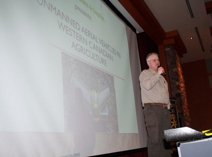
That was the message those attending the annual Rotary Agriculture Appreciation Night in Yorkton Saturday heard from guest speaker Kevin Shearer with Ag Business & Crop Inc..
Shearer said like any new technology working with unmanned aerial vehicles (drones), there is a learning curve.
“It’s technology. There’s lots of bumps along the way,” he said, but added the use of drones can offer a lot of positive data so that it is worth the effort to understand the technology.
In Shearer’s case he came to understand that while with the RCMP in the identification unit where drones have been introduced as an eye-in-the-sky tool to search for evidence and at times suspects or missing people.
Ultimately a drone is simply a remote sensing device.
And remote scanning “is the scanning of the earth by satellite, or aircraft in order to obtain information from it,” said Shearer, adding “a low flying drone is a remote sensor.”
Shearer added producers themselves are essentially a remote sensor “when you drive around your field on a quad.”
Another example of a remote sensor Shearer said many are familiar with is a fish finder.
“It’s just a tool,” he said, adding the information provided is not an absolute. He noted different people will interpret what a fish finder shows in different ways.
In that regard Shearer said, “with drones there’s a lot of myths that have to be dispelled.”
The first myth is that they are not a diagnostic tool in that they provide solutions to in-crop problem.
“That is up to you (producers),” said Shearer.
The images and data collected on a pass by a drone can identify areas within a field where there may be crop issues, but the drone can’t make a decision as to what should be done.
“They can’t make important decisions. They are a tool in making important decisions,” said Shearer. “They are one tool in an advanced system.”
That advanced system needs to be more than have drone collected data, including things such as yield mapping, soil sampling, and farmers being out in the field making visual appraisals.
A drone’s data however, can “suggest areas of crop stress, or good stands,” said Shearer.
At the point Shearer said drone data should be ‘ground-truthing’, the process of getting out and walking the areas of concern to determine the best course of action.
The drone gathered information does “give you confidence you’ve visited the right areas, and confidence you’ve made the right decision.”
A drone does have some abilities that make the data collected worthwhile though.
For example, a drone can photograph a field using infrared cameras.
With infrared “you can see what the human eye can’t,” explained Shearer, who noted chlorophyll in plants reflects infrared. How that appears on film is a tool farmer’s can you to determine the general health of the plants.
Still “you can’t trust a drone to say this is a particular problem,” reiterated Shearer. “You have to walk the crop after the drone has flown.”
In that way a producer can be physically in the areas which need his agronomy skills, he said.
Not all drones are alike either.
There are ones that have multiple motors and are maneuverable much as a helicopter is.
“They can produce a lot of detail in the images,” said Shearer primarily because they are able to hover stationary. “They can capture images while stationary.”
Shearer said a multi-engined unity is a draw on battery power, so has more limit flight time, but is an excellent inspection tool as it can provide lots of close up detail.
A fixed-wing UAV drone looks more like an airplane, and is ideal for field mapping, taking multiple images as it moves to provide an overall field few.
The fixed-wing UAVs are single engine and are lightweight so have greater range and air time for field work.
In the case of the fixed-wing Shearer said a flight plan is fed into a laptop and the computer actually flies the UAV autonomously, although by regulation the operator must keep the UAV within line-of-sight at all times.


