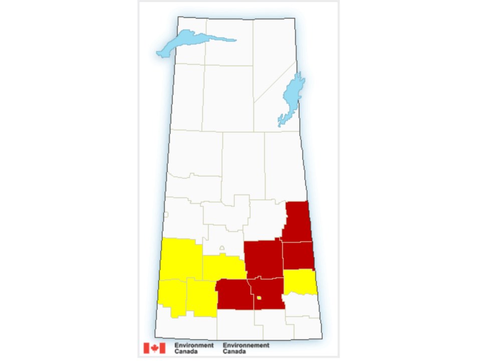
REGINA - UPDATE (7 p.m.): All warnings have now been lifted with the exception of the following:
Severe thunderstorm warning in effect for:
- R.M. of Fertile Belt including Esterhazy Stockholm and Bangor
- R.M. of Grayson including Grayson Dubuc and Killaly
Severe thunderstorm watches remain in effect for areas including City of Regina, Moose Jaw, Fort Qu'Appelle,Swift Current, Kamsack, Canora, Kindersley, Moosomin, Leader, Outlook and Watrous.
-----------------------------------------------------
It has been a wild day of weather so far in Saskatchewan with several reports of a tornado on the ground earlier this afternoon in the Watrous-Manitou Beach area.
That warning has lifted, but new tornado warnings has been issued for the following areas of Saskatchewan.
Tornado warning in effect for:
- R.M. of Livingston including Arran
At 6:18 p.m. CST, Environment Canada meteorologists are tracking a severe thunderstorm that is possibly producing a tornado. Damaging winds, large hail and locally intense rainfall are also possible.
Dopper radar indicates a pair of thunderstorms to the northwest of Swan River may be producing tornadoes. These storms are moving east-southeast towards Swan River and Bowsman.
A number of tornado warnings have been lifted:
Tornado warning ended for:
- R.M. of Good Lake including Canora and Good Spirit Lake Prov. Park
- R.M. of Sliding Hills including Veregin Mikado and Hamton
Tornado warning ended for:
- R.M. of Longlaketon including Earl Grey and Silton
- R.M. of McKillop including Strasbourg and Rowans Ravine Prov. Park
Persons in or near this area should be on the lookout for adverse weather conditions and take necessary safety precautions. Watch for updated statements.
Tornado warning ended for:
- R.M. of Mount Hope including Semans
- R.M. of Touchwood including Serath and Touchwood Hills Prov. Park
A Tornado Watch is currently in effect for Yorkton-Melville-Esterhazy area.
Environment Canada has a number of severe thunderstorm warnings in effect for the following areas of Saskatchewan.
Severe thunderstorm warning in effect for:
- R.M. of Francis including Vibank Sedley and Odessa
- R.M. of Lajord including Lajord Kronau and Riceton
At 6:21 p.m. CST, Environment Canada meteorologists are tracking a severe thunderstorm capable of producing strong wind gusts, nickel to ping pong ball size hail and heavy rain.
This thunderstorm is located near Riceton and is moving east.
Severe thunderstorm warning in effect for:
- R.M. of Kellross including Kelliher and Lestock
- R.M. of Touchwood including Serath and Touchwood Hills Prov. Park
At 6:29 p.m. CST, Environment Canada meteorologists are tracking a severe thunderstorm capable of producing very strong wind gusts, up to nickel size hail and heavy rain.
This storm is currently east of Arbury and is tracking towards the east.
Severe thunderstorm warning in effect for:
- R.M. of Clayton including Norquay Stenen and Swan Plain
At 6:05 p.m. CST, Environment Canada meteorologists are tracking a cluster of severe thunderstorms capable of producing very strong wind gusts, nickel to ping pong ball size hail and heavy rain.
The strongest thunderstorms are located to the north and northwest of Swan River and are moving east-southeast.
Severe thunderstorm warning in effect for:
- R.M. of Grayson including Grayson Dubuc and Killaly
- R.M. of McLeod including Lemberg and Neudorf
At 6:26 p.m. CST, Environment Canada meteorologists are tracking a severe thunderstorm capable of producing very strong wind gusts, up to nickel size hail and heavy rain.
This storm is currently east of Neudorf and is tracking to the east towards Killaly, Saskatchewan.


