Update: Snowfall warnings have been ended for Yorkton, Hudson Bay and Kamsack.
Update: Freezing rain warnings have been lifted, but east central areas and Maple Creek continue to have a snowfall warning as the current system moves east, according to Environment Canada.
Earlier post: A freezing rain warning was issued by Environment Canada for a significant area of Saskatchewan yesterday, and this morning it has been expanded, with some areas also under a snowfall warning.
Saskatoon is no longer under alert but the Battlefords-Unity-Maidstone-St. Walburg are, and the areas of Melfort and Prince Albert are still warned of freezing rain. Lloydminster and the Kindersley area have been added to the freezing rain warning as well. It is expected the freezing rain will end later this morning. (Update: Kindersley and Biggar have seen their warnings ended as of 8:20 a.m.)
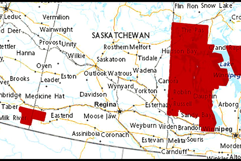
The Hudson Bay area is looking at freezing rain and snowfall, while the Kamsack-Canora-Preeceville area and the Yorkton-Melville-Esterhazy area have a snowfall warning, as does the Maple Creek area.
Environment Canada says snowfall with total amounts of 10 to 15 cm is expected as a low pressure system brings heavy snow to parts of east central Saskatchewan and western Manitoba on Thursday.
Rain or freezing rain will transition to snow over eastern Saskatchewan on Thursday evening before moving into western Manitoba Thursday night.
The heavy snow will taper off on Friday afternoon.
Strong northerly winds gusting to 60 or 70 km/h will likely create reduced visibilities in blowing snow.
Cooler, more seasonal temperatures will follow in the wake of this system.


