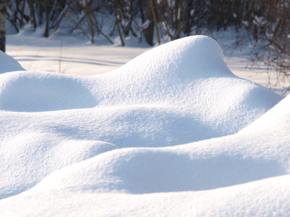
REGINA — Predictions for spring runoff in Saskatchewan vary from below normal to above normal according to the preliminary outlook released this week by the Water Security Agency.
The report shows most of southern Saskatchewan with below normal snowmelt runoff potential, including the Estevan and Alameda areas.
"Both Rafferty Reservoir and Grant Devine Lake are below their prescribed February 1 drawdown elevations," the forecast states. "With relatively dry conditions at freeze-up in 2021 and what is estimated to be a near normal snowpack, the snowmelt runoff response is expected to be near to below average across the basin this spring.
"Additional drawdown of the reservoirs is not expected, and it is anticipated that reservoir releases during the spring runoff period will most likely be limited to what is required to meet international apportionment obligations. At this time, the Boundary, Rafferty, and Grant Devine reservoirs are not expected to fill from snowmelt inflows in 2022."
Much of the southern areas of Saskatchewan experienced dry conditions through the summer and into fall last year. The exception is an area just east of Moose Jaw through Weyburn, Indian Head and Regina, where wetter fall conditions and near normal snowfall have projected a near normal snowmelt.
The melt rate is expected to have a significant impact on runoff yields across the south. With depleted subsoil moisture, a slow melt will likely result in the bulk of the snowpack recharging the soil column. A rapid melt is likely needed to result in an improvement to surface water supplies. The current snowpack is not sufficient to satisfy both. Without additional snowfall, surface water supply issues are likely to occur in southwestern Saskatchewan in 2022.
The central areas, with above normal snowpack, can expect an above normal snowmelt response and near normal conditions are currently projected for the far north.
Runoff potential is determined based on the conditions at freeze-up, the snowfall received to date and that further precipitation will be average between now and spring melt.
The snowpack is generally above to well above normal to date in the central areas; however, flooding is not expected despite the predicted above normal runoff response. The far north, encompassing the areas of Uranium City, Stony Rapids and Cluff Lake are anticipated to experience a near normal runoff event.
The spring runoff outlook could change as there is potentially another eight to 10 weeks of winter remaining. The first spring runoff forecast will be issued in early March.


