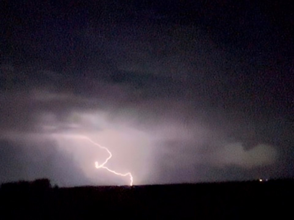
REGINA - It is a night of severe weather in southern Saskatchewan.
At 9:37 PM CST, Environment Canada issued a Severe Thunderstorm Warning for the City of Regina.
Environment Canada meteorologists report they are tracking a cluster of severe thunderstorms capable of producing strong wind gusts, up to toonie size hail and heavy rain.
Also, at 9:16 PM CST, Environment Canada reports they were tracking a cluster of severe thunderstorms capable of producing very strong wind gusts, up to ping pong ball size hail and heavy rain. This line of stoms extends from Bethune south to Belle Prairie, and is moving east at 40 km/h.
Environment Canada is urging people to take immediate cover if a thunderstorm approaches. If outside, protect yourself from flying debris and hail. If you hear roaring wind, see a funnel cloud, flying debris, or any threatening weather approaching, take shelter immediately.
In addition there is a Severe Thunderstorm Watch still in place for a large area of south-central Saskatchewan.
The watch area extends east to the Melville and Yorkton areas and includes communities such as Outlook, Davidson, Humboldt, Wynyard, Fort Qu'Appelle and Canora, among others.
According to Environment Canada:
"Conditions are favourable for the development of severe thunderstorms that may be capable of producing strong wind gusts, large hail and heavy rain. Thunderstorms are expected to develop early this evening ahead of a low pressure system and frontal wave. Some of these thunderstorms could become severe. They are expected to continue into the overnight hours."
Stay alert for potential severe weather throughout the evening and take cover if severe thunderstorms approach.
In addition, there are heat warnings that remain in effect for Regina and Moose Jaw and most of southern Saskatchewan to the US border.
-------------
Earlier: A Severe Thunderstorm Warning is in effect for the area around Brownlee.
Environment Canada reports that at 8:24 PM CST, meteorologists are tracking a severe thunderstorm capable of producing very strong wind gusts, nickel to ping pong ball size hail and heavy rain. The locations are 15 km south of Brownlee to 15 km northeast of Brownlee, with the storm headed east at 35 km/h.
They report that the storm has very strong winds of 90 - 110 km/h, nickel to ping pong ball size (2 to 4 cm) and heavy rain (50 - 75 mm).
Locations in the path include Chamberlain, Holdfast, Sun Valley, Brownlee, Keeler, Marquis, North Grove, South Lake, Tuxford, and Aylesbury.


